
Sources for Previous Residents at an Oregon Address
An address history in Oregon draws on records with different dates and purposes. A deed records a transfer, a directory places a person or business in a published year, a census records a household snapshot, and a map or permit can date a building change. The Portland and Multnomah example is documented in the most detail, but its online cutoff is local. Other counties have their own record series and earlier-book access, which the State Archives County Records Guide can help locate.
| Oregon source | Known coverage | Where to look | What it can show |
|---|---|---|---|
| MultcoRecords online | February 2002 onward | Multnomah County recorder portal | Recorded document number, type, date, parties and legal description |
| Multnomah Public Research Room | Pre-February 2002; earliest series varies | 501 SE Hawthorne Blvd., Portland | Earlier deed, plat, mortgage, lien and index records on microform |
| Portland city directories | 1863 first; name-only street lookup through 1929; reverse guide from 1930 onward | Multnomah County Library | Published name, address, business and household clues |
| Gresham / East Suburban directories | Irregular local runs | Multnomah County Library Central and Gresham | Address entries for Gresham and nearby areas |
| Tscheu rural directories | Late 1950s through late 1970s, uneven | Multnomah County Library | Names, rural-route maps and route-box locations |
| Federal census | Released through 1950 under the 72-year rule | National Archives, the FamilySearch catalog, State Archives references | Names, ages, birthplace and household composition on enumeration day |
| Portland permits and Sanborn maps | Permit dates and map sheets vary; online permits mainly June 2012–December 2023 | PortlandMaps, city request channel, libraries and archives | Work dates, building footprint, use and lot context, not a resident list |
| Newspapers | Oregon Journal 1902–1982; Historical Oregonian 1861–1987; local titles vary | Multnomah County Library and University of Oregon | Address notices, sales, obituaries and community events |
Start with the parcel and the deed chain when the question is who owned a place. Use annual directories and census schedules for the people who may have lived there. Add permits or Sanborn maps to date a change in the structure, then use newspapers, probate or an obituary to test a family connection. A research gap at one office is a reason to switch sources, not to assume the name is absent from the whole Oregon record.
Oregon's Previous Residents Trail Before 2002
MultcoRecords' online recorded-document search begins in February 2002. The county's description says a result can show the parties and their roles, document type, recording date, document number and legal description. Non-certified documents can be placed in an online cart and checked out; certified copies follow a separate path. The result's legal description is especially useful when an old deed has no current street number or the address has changed.
| Result field | How it helps with an Oregon deed trail |
|---|---|
| Party name and type | Shows indexed parties and their roles; confirm grantor or grantee from the document itself. |
| Document type | Identifies a deed, lien or another recorded category. |
| Recording date | Places the filing in the chain's timeline. |
| Document number | Provides the county's recorded-document identifier. |
| Legal description | Links the filing to land when the street address is missing or has changed. |
| Image access | Non-certified copies may be carted and checked out online; certified copies use a separate route. |
The MultcoRecords recorded-document search shows the current online route for recorded papers in Multnomah County.
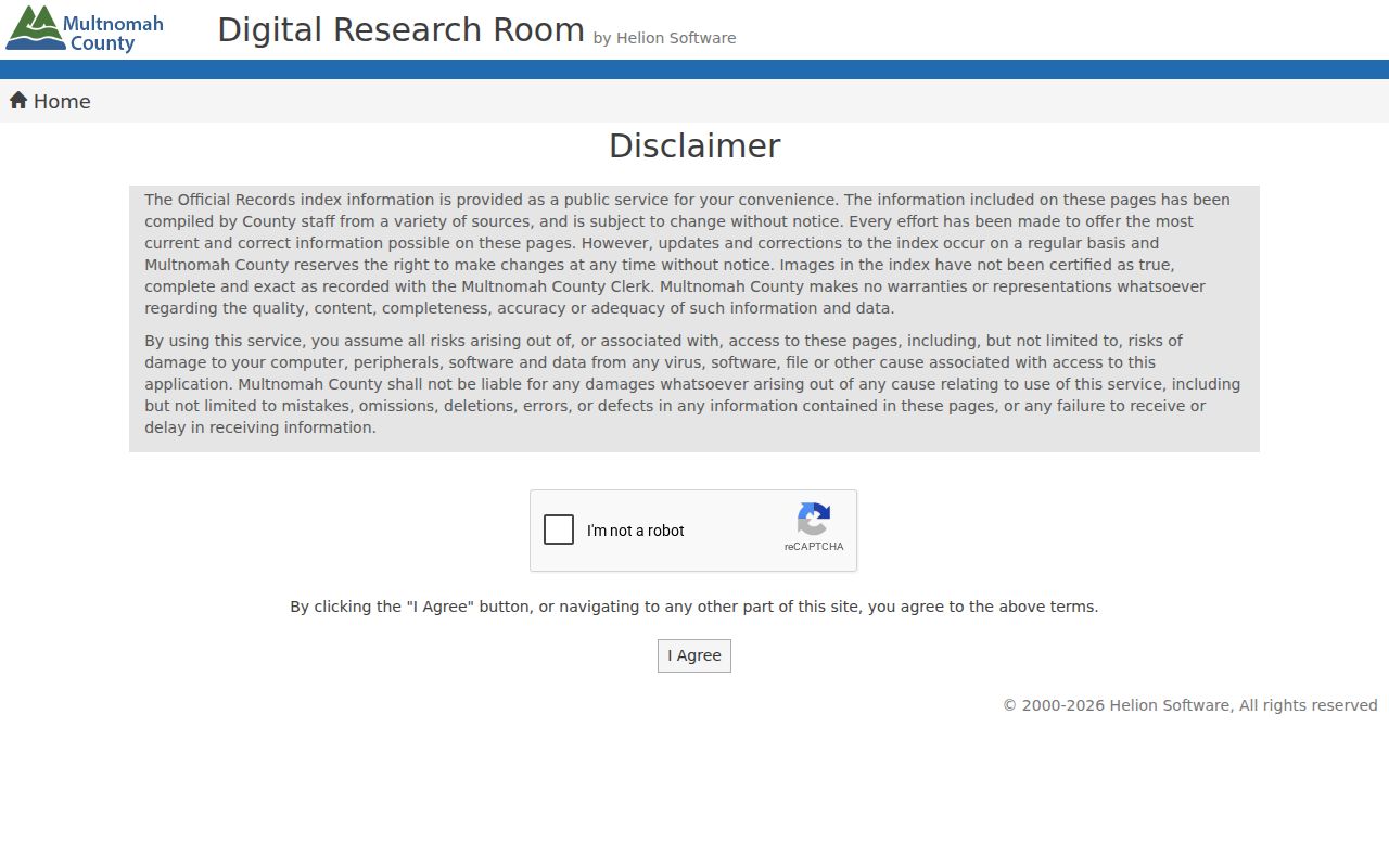
For a Portland-era document before February 2002, the Multnomah Public Research Room has microform property records and recordings predating the website. The county's recorded-document access page describes this fallback. The room is at 501 SE Hawthorne Boulevard, open 8:30 a.m. to 4:30 p.m. Monday through Friday except legal holidays, with a one-hour-per-person daily use limit. The county also offers a Combined Copy Request Form for earlier research and copies, with fees under ORS 205.320(B). Call or email the recording division for routing; mail, drop-box and in-person channels are for submissions and copies, not substitutes for the online name/date/type search. Do not apply this cutoff to another Oregon county without checking its own guide.
Note: Multnomah's February 2002 online range is county-specific; check another Oregon county's cutoff before planning older deed work.
Trace an Oregon Deed Chain by Legal Description
The deed chain follows each transfer of a parcel backward. In Portland, begin with the current assessor parcel and its tax-lot or legal-description field, then search that description in the recorder's index. Street address alone can fail when numbering changed or when the index retained a legal description instead. Use a county assessor for the parcel, then the recorder for the filed instrument; an owner shown on a tax record is not automatically the person who lived at the property. The PortlandMaps assessor search is the inspected local example; other Oregon counties use their own assessor tools.
- Record the parcel or tax-lot number and the legal description from the assessor's current property record.
- Find the latest deed in the county recorder's index, using the legal description along with the current owner's name if needed.
- Note the recording number and date, grantor, grantee, and legal description from the result and verify them on the deed.
- Search the seller named in that deed as the prior grantee, then check that the same parcel or predecessor lot appears.
- Repeat the search backward; when the online range ends, move to that county's research room, microform or older books.
- Grantor / grantee
- The grantor conveys an interest; the grantee receives it. Confirm the roles on the document because the index may use party labels that need context.
- Chain of title
- The sequence of recorded transfers tied to a parcel, traced from a later owner to earlier grantors and grantees.
- Legal description
- The written land description, often tied to a plat, lot or tax lot. It can identify a parcel when an address is absent or has changed.
- Parcel
- A mapped piece of land tracked by the assessor; parcel boundaries and tax identifiers can change, so compare older descriptions carefully.
Multnomah's indexed result lists the document number, type, date, parties and legal description. The document itself matters: an index helps find it, but it does not settle what a deed conveyed or whether a predecessor parcel is identical.
Portland's Crosswalk for Oregon Past Residents
Portland's address change is one of the largest breaks in an Oregon house history. City crews began reassignment in 1931 and finished in July 1933, changing numbers and street names and forming the five directional quadrants. The City Archives record for Ordinance 61325, dated February 28, 1933, is a 43.4 MB report filed as D/51536 with an old/new address cross-reference. Portland also made a later Southwest address change in 2020.
Use the City Archives renumbering report to translate a current address before relying on an older directory entry.
Portland directory searches for 1930 and 1931 should use the old form. In 1932 and 1933, check both old and new addresses because neighborhoods changed over time rather than on one uniform date. A search that uses only today's street number may appear to have no prior household, even when the cross-reference supplies the missing link.
Note: Keep the old and current address forms in your research notes so each search can be repeated.
Oregon Previous Residents in Census and Directories
Deeds identify property transfers; directories and census schedules can add names of people at a place. Portland's alphabetic directories from 1863 through 1929 are name-based and lack a street-order section. A person known in a later year can lead backward through earlier volumes. From 1930 onward, the Street and Avenue Guide reverses the route by street, block and number, usually on pink or green paper. Verify an abbreviated address entry in the alphabetic listing when possible. The collections and reading method are described in the Oregon city directory page.
Pair a directory year with the nearest census year, but keep the difference clear: the federal census records a household at enumeration, not every person who stayed there during an entire year. Federal releases follow a 72-year limit; currently released federal schedules reach 1950. Oregon territorial and state census records are another route through the Oregon State Archives reference service, with series varying by place and year. Neither source proves title, and directories may leave out children, lodgers, household members or people outside the covered city boundary.
- Choose one directory year and confirm that the correct city or rural run covers the address.
- Check the census nearest that year and note its enumeration date, household names, ages and birthplace fields.
- Compare the two records without treating a mismatch as an error; a move may fall between their dates.
- Use a later or earlier directory to test the move, and preserve any old/new address forms in your notes.
Personal history. Oregon records can support house history, family research and curiosity about a place. Keep the work focused on the record and respect privacy limits when it concerns someone living today.
Date an Oregon Place with Permits and Maps
PortlandMaps can show permits for June 1, 2012 through December 2023. A permit record may include an ID, work or case description, status, activity and inspection history, an assigned staff name, or available plan documents. The person listed can be an applicant, contractor or owner; that name does not by itself show who lived at the address. The online span is bounded: older permits and many records after December 2023 require a request through Portland Permitting & Development's public-records process. The research minimum for permit-record work is $8 per address, and the city may estimate added costs before it proceeds.
Sanborn fire-insurance maps add a different kind of date. Portland and other Oregon map sheets vary by year and coverage. A sheet can show a building footprint, use, materials and lot context, but it is not an occupant list or deed. Use a permit or map to choose a directory and census window, then verify people in the sources that name them.
For another Oregon city, check its planning or archive portal and the county record guide rather than borrowing Portland's dates, fees or map coverage.
Note: A permit or Sanborn sheet dates a change at a parcel but does not establish who lived there.
Oregon House-History Sources for Past Residents
The Multnomah County Library house-history hub brings together separate Portland and East-of-I-205 guides, directory help and newspaper links.
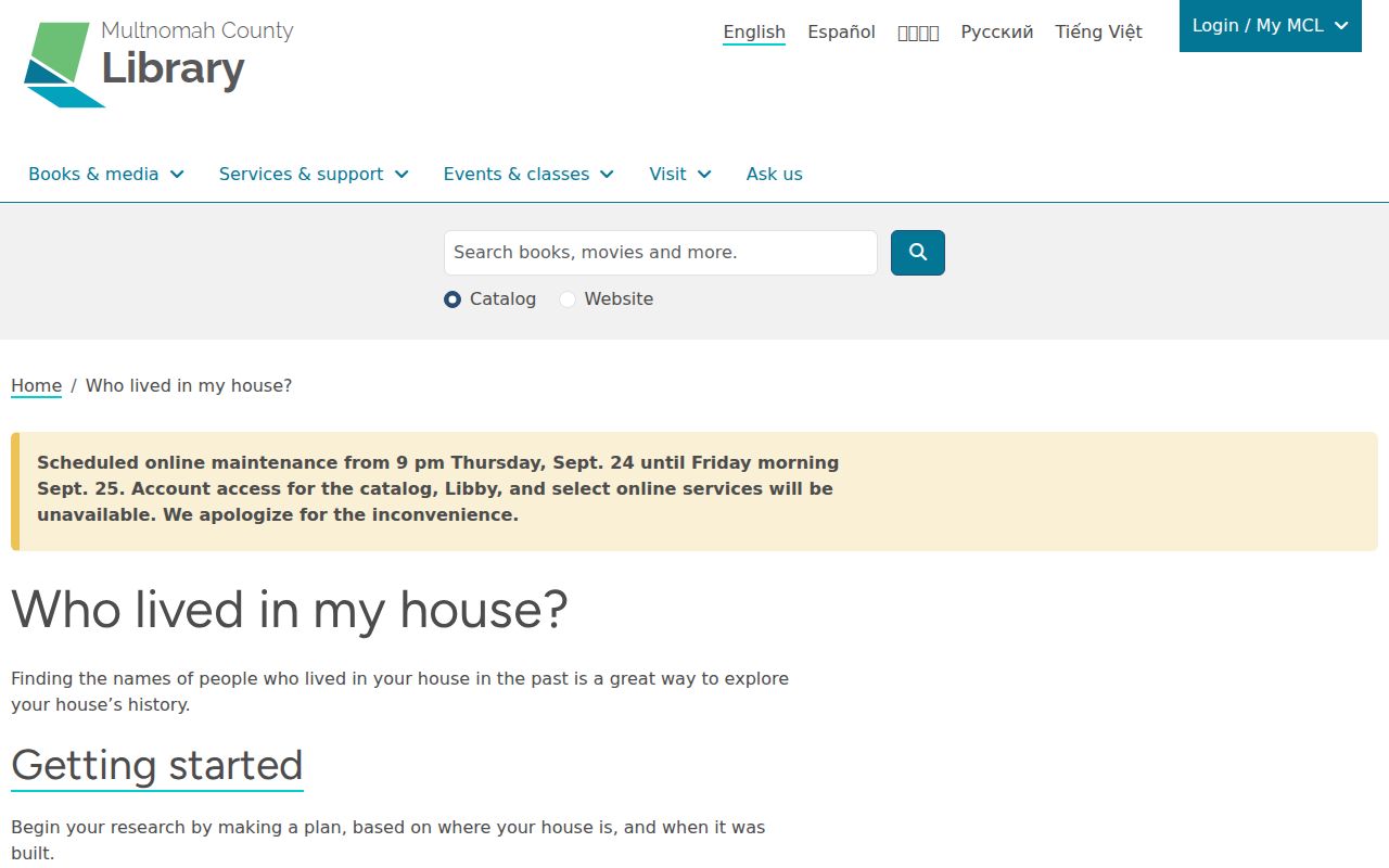
Its approach starts by checking when a building and neighborhood existed, then translating the street number, looking at permits and newspapers, and asking the local-history desk for help. The library's Portland guide points to old and current address searches, the Crane Directory of Street and Name Changes, county assessor and recorder records, and owners from 1850 onward. That is a useful model for Oregon libraries elsewhere, not a claim that every branch holds the same books or offers identical research service. For a place outside Multnomah County, contact that town's local-history desk and ask which directories, maps and newspaper runs cover the address.
Obituaries Close an Oregon Previous Residents Trail
When a name disappears from the address record, an obituary or probate file may explain what happened next. Portland's Historical Oregonian and Oregon Journal collections can carry funeral notices, family names, address references and sale notices; other towns may have a local paper in the University of Oregon's Historic Oregon Newspapers collection. Search the address in both its old and current form, then add the person's name and likely relatives or a dated event term.
Probate and estate records may name heirs, an executor, a property transfer or a last address. Those facts can close a historical trail, but an heir is not necessarily someone who lived at the place. Confirm a death or legal transfer with the source record or the office that holds it. If an index points to a reel, book or file that is not online, ask the library or archive for a lookup or copy route, then note what remains unavailable.
Oregon's county records are spread across local offices, libraries, museums and State Archives. A careful account keeps each record's date, jurisdiction and role distinct, so a house history reflects evidence rather than a guessed list of former occupants.