
Oregon Neighbors by Parcel Record
A block lookup begins with the parcel that touches the address you know. Oregon's county assessor records can identify the owner of record, tax lot, mailing address, and values; local GIS shows the parcel shape and nearby lots. Neither source is a roster of people inside the buildings. Use the sources below to build a geographic picture, then check each name against the record that actually supports it.
| Source | What It Shows About a Block | Access |
|---|---|---|
| GIS parcel viewer | Adjacent shapes, tax lots, and available zoning, flood, school, service, or neighborhood layers | City or county map; confirm boundaries with the county |
| County assessor | Owner of record, mailing address, values, exemptions, and parcel identifiers | County portal, counter, or public-record request |
| County recorder | Deeds, liens, mortgages, and plats tied to each legal parcel | County search, research room, or older film copies |
| PortlandMaps permits | Permit, code, and land-use activity associated with an address | Portland address search; date and document gaps apply |
| Oregon voter list | Public registration fields at residence addresses, with protected records excluded | My Vote for one person or a regulated list request |
| Reverse directory | Past occupants or businesses in a dated city or rural run | Library shelf or digitized collection |
| Neighborhood association | Geographic boundary, public contacts, and meeting information | Portland neighborhood and Civic Life directories |
Owners, registrants, project contacts, and directory entries are not interchangeable. An owner may receive tax mail elsewhere; a voter may have an exempt address; a permit applicant may not live at the site. Historical books capture a past year, while a civic directory offers a public way to reach a neighborhood group rather than its private member list.
County assessor sites do not share one statewide interface or set of fields. When an online map stops, the county assessor or records counter can route a request for tax-lot material or older property cards. The Oregon Historical County Records Guide identifies record series and repositories for all 36 counties, including libraries and archives. Keep the result as a parcel inventory, not a list of presumed occupants.
Trace Oregon Neighbors on Parcel Maps
Start at the anchor address in the local map, select its parcel, and record the tax lot and legal description, the written land location used in recorded property documents. Then click each parcel that shares a boundary. Do not use a radius or the nearest street number as a substitute for adjacency: a road, shared drive, condominium boundary, easement (a right to use part of another parcel), or water lot can change what counts as next door. If a viewer offers a buffer, or radius search, identify, or measure tool, use it only as a map aid.
- Search the address or intersection, then confirm the municipality and county shown by the map.
- Select the anchor parcel and note its parcel ID, tax lot, and legal description.
- Click each adjacent polygon; open the linked assessor record for its owner and mailing address.
- Compare the situs address, the parcel's physical location, its map shape, and its legal description, then stop at public parcel facts rather than inferring a household.
The PortlandMaps parcel viewer is the inspected Oregon example. A result can highlight the selected parcel and open its information panel; some results do not have an associated point.
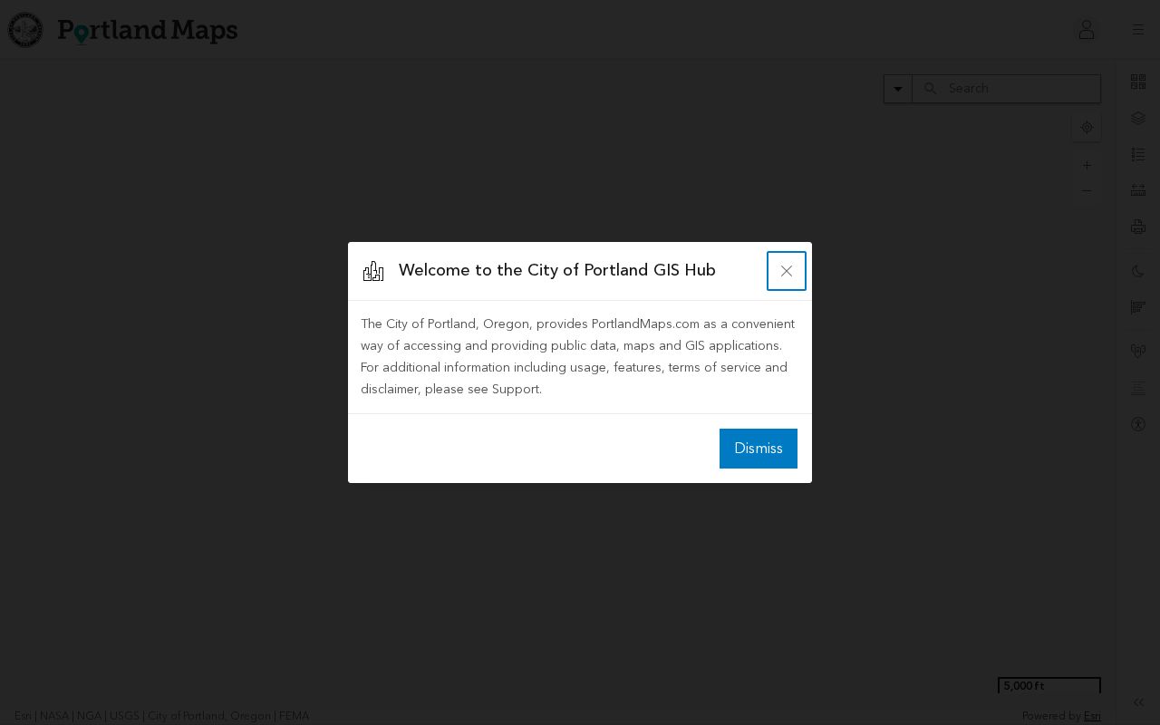
This map is for orientation, not a legal survey or a public household list. Use county tax-lot data to confirm parcel boundaries, and use the linked assessor or recorder record to confirm ownership.
Portland's Directory for Oregon Neighbors
Portland's official neighborhood directory adds a civic layer to a parcel map. Search by neighborhood name or use its address route to identify a geographic area and reach the public neighborhood page. The pages describe boundaries and provide public contacts or community information; they are not membership rolls and should not be used to infer who lives in a particular home.
The Portland neighborhood directory is the city's public index of those places and contacts.
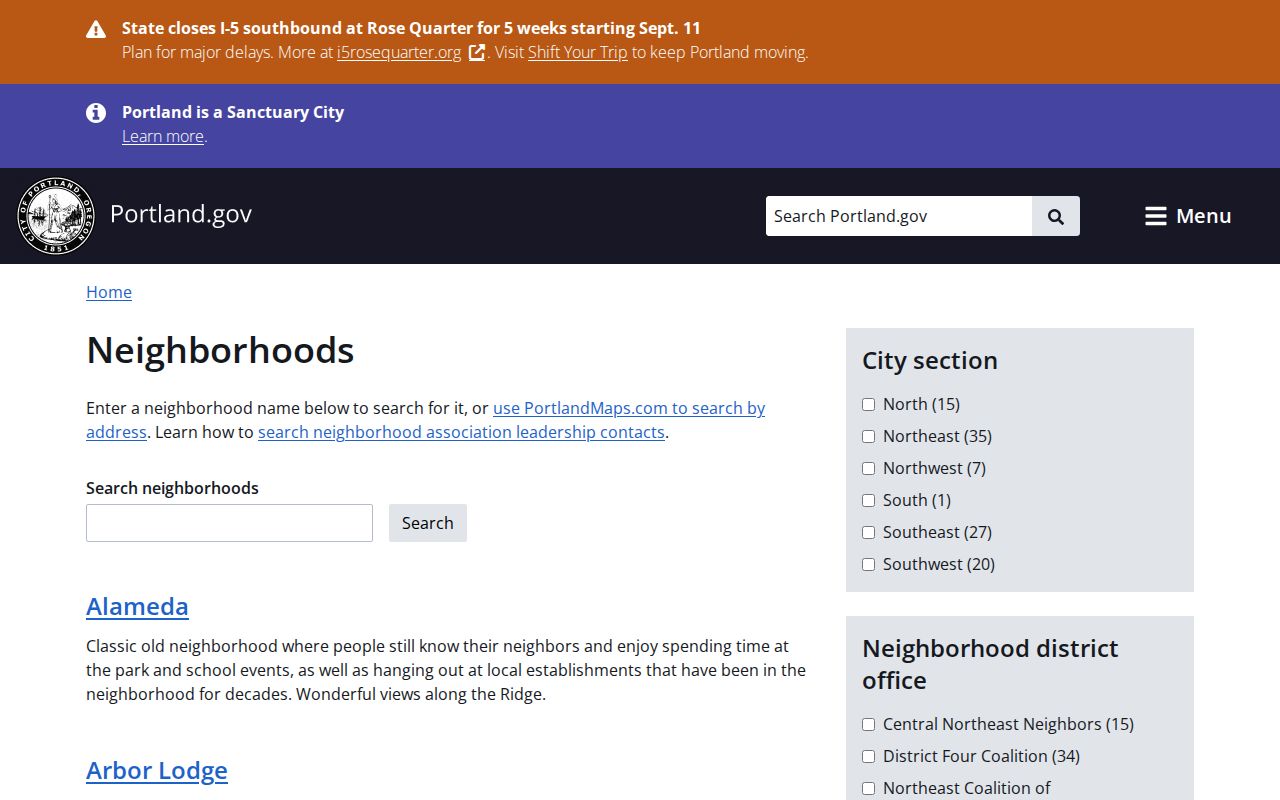
For personal civic questions, use the listed association contact or meeting route. Other Oregon cities may publish neighborhood councils or planning contacts through their own community or planning offices.
The map boundary and the group contact answer different questions. A boundary helps locate the right public association page; it does not show who belongs to the organization or who lives on a street. If an address is near an edge, compare the city directory's description with the parcel's local map and contact the association through its published channel.
Oregon Neighborhood Contacts in Portland
Portland Civic Life recognizes 94 geographic neighborhood associations and names four nonprofit district-coalition offices. These organizations offer public contact and meeting routes across the city. The association system is geographic: PortlandMaps can identify the association connected to an address, while the city's directory links to its public information.
The Portland neighborhood system page describes the 94-association network and its district offices.
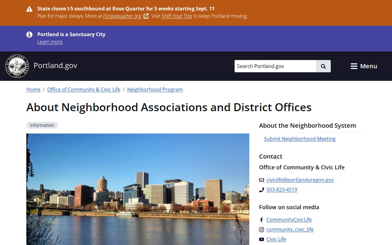
Use these offices to ask about a public meeting, boundary, or civic issue, not to seek private membership details. The public route is through the association's listed contact, and status or contact information should be checked on the city page.
| District office | Public contact route |
|---|---|
| Central Northeast Neighbors | Portland Civic Life district-office and association directory |
| Northeast Coalition of Neighbors | Portland Civic Life district-office and association directory |
| Southeast Uplift | Portland Civic Life district-office and association directory |
| District Four Coalition | Portland Civic Life district-office and association directory |
Oregon's Ardenwald-Johnson Creek Crosses Lines
Ardenwald-Johnson Creek shows why a neighborhood name cannot settle record jurisdiction. The official neighborhood spans Portland and Milwaukie and crosses Multnomah and Clackamas counties. An association contact may help identify the community, but tax lots and legal records still belong to the county or city that maintains each record.
When an address falls near a border, check the parcel map, assessor situs, and recorder jurisdiction before sending a request. The same point applies across Oregon: 241 incorporated cities, 36 counties, 9 tribes, and 6 regional councils of governments supply local address points. A statewide directory must route the search to the government that holds the parcel or civic record. Oregon's address standard also separates postal community from incorporated municipality and includes the county and parcel ID in the address-point record.
The Oregon Address Point Standard explains why a postal label, city name, and county jurisdiction may not line up. This is a useful geographic check before treating two homes with the same neighborhood label as part of one records jurisdiction.
Portland Civic Life reported that its 2026 neighborhood-group rules update was paused. Check the city directory for current contacts rather than relying on an older group page.
Oregon Voter Records Around a Block
My Vote is for checking an individual registrant, not for listing everyone at an address or along a street. Its name lookup asks for first name, last name, and date of birth. County elections officials maintain a person's registration, so a correction question belongs with the relevant county office, not a neighborhood association.
Oregon's voter-list request is a separate route. A list specification includes residence address, county, ZIP, precinct, status, party, and participation history; it does not disclose ballot choices. Lists exclude Address Confidentiality Program participants and other protected records, and Oregon law bars commercial use with a statutory political-resale exception. An address can also be exempted through the state's residence-address protections.
Those limits matter when comparing public geography with the people who choose to register at an address. A missing name does not prove an empty home, and a listed registrant is not proof of current occupancy. For address-specific questions, use the county elections office's public contact channel.
For broader voter data, the Secretary of State accepts statewide or smaller electronic list requests through secure file transfer (SFTP). The stated fee is $500 for a statewide list, or a $25 setup fee plus 2.5 cents per 100 records for a smaller area, with a 10-business-day estimate. Printed lists and labels go through county elections officials. The voter-list request instructions explain the route; the official file specifications describe which address and registration fields are included.
Portland Permits and Oregon Block Activity
Permit and land-use records can add a public timeline to a block by showing project status, inspection activity, or a planning case tied to a site. The person named may be an applicant, contractor, or owner rather than a resident. PortlandMaps has a bounded online permit run, with older and some newer documents routed through the city's records process. The Oregon street directory's address-record walkthrough covers Portland's documented date limits and request fees.
Other Oregon municipalities keep their own planning and building records. Use a city's public map or records office for its local files, then use the county assessor and recorder for parcel and title records. A civic meeting notice or neighborhood page can explain a public project without exposing private household details.
Official Oregon Records and Commercial Tools
Official sources and commercial neighbor-lookup tools draw on different records and should not be treated as equal proof. A short comparison helps choose the right next step for understanding a block.
| Official parcel and civic records | Commercial neighbor-search tools |
|---|---|
| County assessors and recorders identify the responsible office, owner of record, parcel, legal description, and recorded documents. | Compiled databases may combine public and licensed data, with unclear source dates or matching rules. |
| City GIS and neighborhood directories show mapped boundaries, public contacts, and meeting information. | A result may place an address or person in a nearby area without proving a shared parcel or current connection. |
| My Vote, library directories, and permit records answer limited questions under their own access rules and dates. | Coverage, freshness, and correction routes vary; verify a claim with the government or repository that holds the original record. |
For the block itself, parcel geometry and official neighborhood contacts are more useful than a broad people-search result. If you need the full address chain along a named street, use the Street Directory method rather than expanding a neighborhood result into a household list.
Commercial databases can be convenient for broad discovery, but a matching name or nearby address does not prove a shared boundary, current connection, or official record. Their source dates and correction paths may be hard to assess. Public records have their own gaps too, so confirm an important detail with the county, city, election office, or repository that holds the original file.
Privacy at an Oregon Block
A public parcel does not make every household member, guest, utility customer, delivery recipient, or protected voter public. Address Confidentiality Program participants, some election workers, juvenile parties, and sealed or protected court subjects may be absent from otherwise visible sources. Utility and delivery customer data is not a public neighbor directory.
Keep a block summary at the level of public parcels, civic contacts, and published meeting information. Do not compile a private resident roster or use public records to watch, pressure, or intimidate anyone. Commercial tools do not override Oregon confidentiality or anti-stalking rules.
A household can include people who do not appear in any of these systems, and protected records can be withheld even when the surrounding parcel data is public. A safe neighborhood inquiry stays focused on public boundaries, meeting notices, and records that answer a defined personal or civic question.
Lawful use. Use Oregon parcel and neighborhood records for personal, lawful research and civic contact. Do not use them to stalk, threaten, or harass a person.